
Introduction
For millennia, agriculture has been the backbone of human civilization, relying heavily on the wisdom of generations, seasonal intuition, and the unpredictable whims of nature. However, as the global population marches toward unprecedented numbers and climate change disrupts historic weather patterns, traditional farming methods face systemic vulnerabilities. The modern agricultural sector is hitting a critical inflection point where incremental improvements in seeds or fertilizers are no longer sufficient to guarantee food security.
Enter the third modern agricultural revolution: a digital and technological transformation defined by the convergence of Artificial Intelligence (AI) and Space Technology.
Once confined to the realms of science fiction, science labs, and defense agencies, these deep-tech domains have descended directly into the dirt of the farmer’s field. By working in tandem, satellites orbiting thousands of kilometers above the Earth and sophisticated AI algorithms processing data in milliseconds are creating an unprecedented information ecosystem. For billions of farmers worldwide—particularly smallholders who manage fractured plots of land—this tech fusion is not just an incremental upgrade; it is a monumental boon. It transitions farming from a game of historical guesswork into a practice of absolute precision, providing hyper-local, real-time, and highly actionable information that saves crops, reduces costs, and builds global climate resilience.
The Synergy of Outer Space and Neural Networks
To understand why this technological coupling is so revolutionary, one must look at how space technology and artificial intelligence complement one another. Space technology serves as humanity’s eyes in the sky. Earth observation satellites, equipped with advanced optical, infrared, and microwave sensors, continuously scan the planet’s surface. They capture multi-spectral and hyperspectral data, map topography, measure surface temperatures, and track changes in vegetation density over time.
However, raw satellite imagery on its own is practically useless to a farmer. A smallholder cannot look at a raw infrared data packet and know how much nitrogen to feed their crops. This is where Artificial Intelligence steps in. AI acts as the cognitive engine or the “brain” that translates raw, astronomical amounts of geospatial data into digestible, localized information.
Using deep learning, computer vision, and machine learning models, AI systems parse through terabytes of satellite imagery. They filter out cloud cover, cross-reference historical yield trends, integrate current meteorological streams, and analyze soil physics models. The end result is a highly tailored, field-specific advisory delivered directly to a farmer’s smartphone. The macro-perspective of space tech combined with the micro-analytical capability of AI creates a continuous feedback loop, turning abstract planetary data into concrete agricultural wisdom.
The Shift in the Farmer Information Paradigm
Historically, agricultural extension services were slow, labor-intensive, and prone to logistical bottlenecks. Government agronomists had to physically travel to rural villages, test small soil samples in distant laboratories, and distribute generic leaflets that applied blanket recommendations to entire regions. If a mysterious pest outbreak occurred, it often wiped out fields before an expert could identify the vector and prescribe a countermeasure.
The marriage of AI and space technology completely shatters this outdated paradigm. It democratizes elite agronomic expertise. Today, field-level monitoring—which was once the exclusive luxury of massive corporate agricultural conglomerates—is available to smallholders.
Satellites pass over agricultural zones every few days, capturing subtle changes in the crop canopy. When AI algorithms detect anomalies, they trigger an immediate digital advisory. A farmer receives a notification via an app or an SMS detailing the exact condition of their plot. This shift from reactive crisis management to proactive precision planning represents the true essence of the modern agricultural revolution. Information is no longer a delayed luxury; it is an instantaneous, preventative shield.
Key Pillars of AI and Space-Driven Farmer Information
The practical benefits of this technology manifest across several critical domains of farm management. By breaking down how these systems operate, we can see exactly why they have become an indispensable asset for modern growers.
1. Hyperlocal Weather Forecasting and Climate Intelligence
Global warming has rendered traditional meteorological patterns unreliable. Monsoons arrive late, unseasonal dry spells persist, and sudden extreme weather events threaten entire harvest cycles. Standard regional weather reports fail to provide the granularity needed for daily farm decisions; a rainstorm might drench one village while leaving a neighboring valley completely dry.
Space-tech systems utilize microwave and infrared satellite imagery to track atmospheric moisture, cloud dynamics, and sea-surface temperatures with pinpoint accuracy. When integrated with AI-driven predictive modeling, these systems generate hyperlocal weather forecasts. Farmers receive localized alerts indicating the exact onset of rains down to the specific zip code or village level. This enables them to perfectly time land preparation, optimize sowing dates, and avoid spraying expensive fertilizers or pesticides right before a heavy downpour that would wash the chemicals away.
2. Precision Soil Health and Input Optimization
Maintaining soil fertility is a constant struggle. Over-fertilization not only burns through a farmer’s financial capital but also degrades the long-term health of the soil and contaminates local water tables. Conversely, under-fertilization leads to stunted crop growth and poor yields.
Modern satellites measure surface soil moisture and utilize Normalized Difference Vegetation Index (NDVI) mapping to analyze crop canopy reflection. Healthy crops reflect light differently than stressed ones. AI algorithms interpret these spectral signatures to detect nutrient deficiencies, structural soil stress, or localized dehydration up to two weeks before any visible symptoms are apparent to the naked human eye walking the field.
Instead of treating an entire ten-acre plot uniformly, the farmer receives a digital map indicating exactly which zone requires nitrogen, which patch needs potassium, and which area is sufficiently nourished. This targeted approach dramatically reduces input costs while maximizing output.
3. Early Pest, Weed, and Disease Detection
Pests and crop diseases are silent yield killers that can wipe out a farmer’s entire annual income in a matter of days. Spotting a fungal infection or an armyworm infestation early is the difference between a successful harvest and financial ruin.
By pairing high-resolution satellite mapping with localized drone photography and AI computer vision, agricultural platforms can run automated diagnostics. The AI compares current field imagery against vast databases of botanical pathologies. If a specific patch of a field exhibits a unique discoloration pattern indicative of a fungal blast, the system flags it immediately. The farmer is informed not only of the exact location of the infection but also receives a recommended treatment plan specifying the precise dosage and type of ecological or chemical countermeasure required. This stops outbreaks in their tracks and prevents the indiscriminate, widespread use of chemical pesticides.
4. Yield Prediction and Financial De-risking
For a farmer, understanding what a field will yield at the end of a season is crucial for planning logistics, securing fair market prices, and obtaining credit. Historically, yield estimation was a guessing game based on visual checks and historical averages.
AI models process a confluence of parameters collected throughout the season—including crop growth stages, cumulative precipitation, solar radiation absorption, and soil temperature trends. By running these datasets through advanced crop-growth simulations, AI can accurately forecast crop yields weeks before harvest begins.
This information is invaluable. It allows farmers to negotiate better pricing with supply chain buyers ahead of time rather than falling victim to sudden market gluts. Furthermore, this objective data radically transforms the crop insurance sector. In the event of a drought or flood, insurance companies can use verified satellite histories and AI risk assessments to instantly validate claims, accelerating payouts to farmers who desperately need liquidity to rebuild.
”The integration of space observation and artificial intelligence bridges the gap between planetary science and rural survival, transforming data into a lifeline for the global farmer.”
Overcoming the Digital Divide and Enhancing Inclusivity
A recurring criticism of cutting-edge technology is that it primarily benefits wealthy, tech-savvy populations while leaving marginalized, small-scale producers behind. However, the current evolution of agricultural AI is explicitly designed to dismantle these barriers through inclusive, user-centric engineering.
The rise of Generative AI and Large Language Models (LLMs) has revolutionized how data is delivered to rural communities. Advanced agricultural platforms are building multilingual, voice-activated AI interfaces. A farmer who may be semi-literate or uncomfortable navigating complex digital dashboards can simply speak to a chatbot in their local dialect or tribal language. They can ask, “My cotton leaves are turning yellow at the edges, what should I do?” The AI processes the voice input, pulls up the satellite history of that farmer’s specific registered plot, diagnoses the nutrient deficiency, and speaks back an answer in the same dialect. By integrating these systems with widely used communication networks like SMS or WhatsApp, the barrier to entry drops to zero. The farmer does not need a degree in data science; they just need access to a basic mobile phone to tap into the collective intelligence of global satellite constellations.
Global Frameworks and Real-World Impact
Across the world, governments and technology consortiums are recognizing the immense value of this tech-duo and are institutionalizing it to scale impact. For instance, in agricultural heavyweights like India, initiatives such as the “Bharat-VISTAAR” multilingual AI tool and the “AgriStack” ecosystem are seamlessly blending public remote-sensing data with local agronomic packages. Pilot projects utilizing AI-driven monsoon forecasting have successfully reached tens of millions of farmers, allowing a massive percentage of them to dynamically alter their sowing schedules and save billions in potential crop losses.
Similarly, global initiatives like the World Economic Forum’s “AI for Agriculture Innovation” (AI4AI) are actively driving partnerships to scale deep-tech solutions. The goal is clear: transition from fragmented, localized experiments to a standardized global infrastructure where satellite-derived climate intelligence is fundamentally built into the economic framework of every farm on Earth.
Future Horizons: The Next Phase of Intelligent Farming
As we look toward the future, the capabilities of space technology and AI are poised to expand exponentially. The deployment of next-generation commercial satellite constellations featuring advanced hyperspectral imaging will soon allow systems to see past the crop canopy down to the biochemical level. We will be able to monitor real-time carbon sequestration rates in the soil and distinguish highly specific sub-varieties of crops from space.
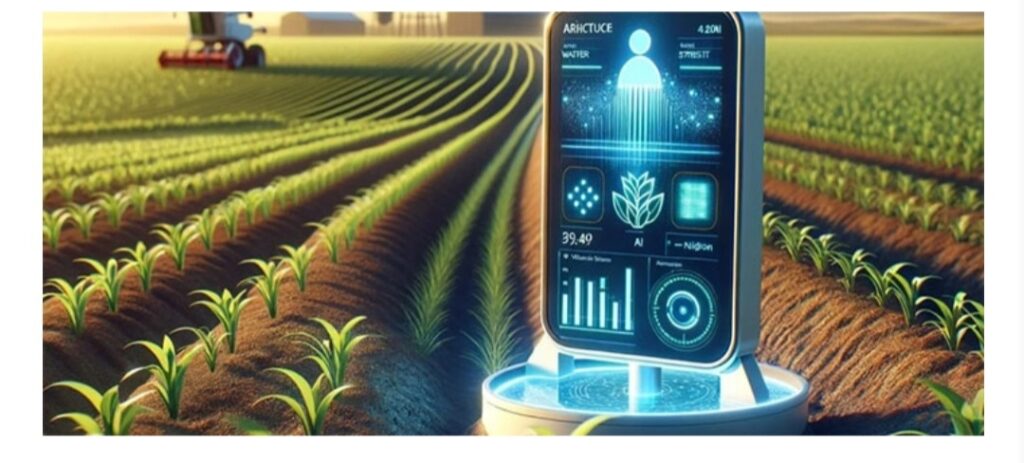
Concurrently, AI is moving toward “agentic” systems. These are autonomous AI agents that do not just give advice but can directly interact with automated farm machinery. Imagine an ecosystem where a satellite detects a water deficit, an AI agent calculates the required volume, and automatically instructs a solar-powered, IoT-enabled drip irrigation system to deliver the exact number of drops to that specific row of crops. This level of automation will further isolate agricultural production from human error and resource scarcity.
Conclusion
The agricultural revolution driven by AI and Space Technology represents a profound shift in how humanity interacts with the earth that feeds it. By converting sky-high data streams into hyper-local, ground-level instructions, this technological alliance solves the fundamental challenge of modern agriculture: the critical need for timely, accurate, and accessible information.
It empowers the individual farmer, turning them from a passive observer of nature’s volatility into an informed manager of precision ecological systems. As these technologies become more deeply integrated, cheaper to deploy, and localized in execution, they will continue to serve as an indispensable boon—ensuring that innovation leaves the laboratory, crosses the atmosphere, and firmly roots itself in the fields to secure the future of global food producti